<p>
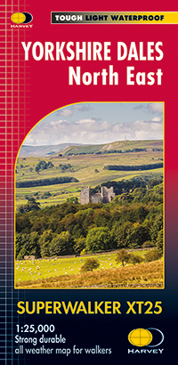
The Yorkshire Dales National Park on just 4 sheets. Yorkshire Dales North East: The coverage of this map includes Swaledale, Wharfedale, Wensleydale and Nidderdale. Genuine original HARVEY mapping at 1:25,000. Clear, easy to read, Easy to re-fold. Opens directly to either side of the sheet, Slim and flexible, light to carry, Tearproof, durable AND 100% waterproof as standard - no need for a map case.</p>
€ 24.95
Bekijk bij dezwerver.nl| Identifier | 30659 |
| Name | Wandelkaart Yorkshire Dales Noord-Oost | Harvey Maps |
| ProductCategoryName | Wandelkaarten |
| Description | <p> The Yorkshire Dales National Park on just 4 sheets. Yorkshire Dales North East: The coverage of this map includes Swaledale, Wharfedale, Wensleydale and Nidderdale. Genuine original HARVEY mapping at 1:25,000. Clear, easy to read, Easy to re-fold. Opens directly to either side of the sheet, Slim and flexible, light to carry, Tearproof, durable AND 100% waterproof as standard - no need for a map case.</p> |
| Price | 24.95 |
| Extra informatie | |
|---|---|
| Pages | 1 |
| Edition | 25-02-2016 |
| ISBN | 9781851375639 |
| Publisher | Harvey Maps |
| Continent | Europa |
| Country | Engeland |
| Region | Yorkshire and the Humber |
| DeliveryCosts | 2.95 |