<div>
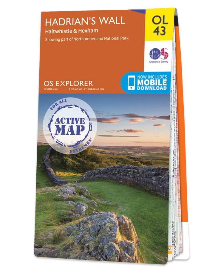
Een van de beste detailkaarten die er op de wereld gemaakt worden: zeer gedetailleerd, prachtig helder kleurgebruik, veel topografische aspecten en - zeer belangrijk - allerlei toeristische en recreatieve aspecten zijn ingetekend. De perfecte kaart voor vakantie en vrije tijd: wandelen, fietsen of gewoon de omgeving verkennen. Door de grootte van de kaart, voor- en achterzijde,</div>
<div>
bestrijkt het een behoorlijk groot gebied!</div>
<div>
</div>
<div>
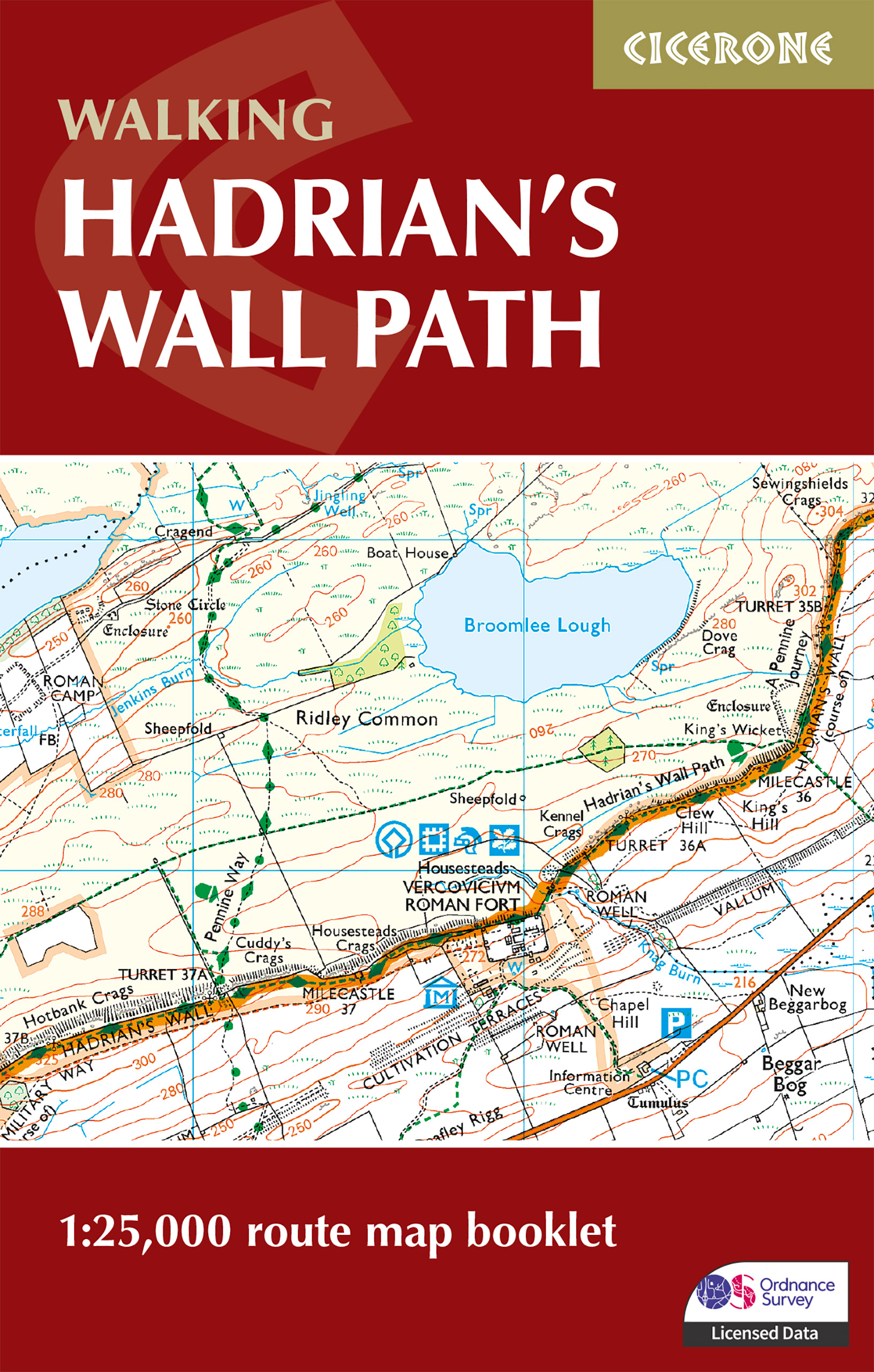
These highly detailed maps show all the administrative boundaries, settlements as small as isolated farms, road network down to unfenced roads and country tracks, and field boundaries (hedges and drystone walls) which make navigation across the countryside much easier. Steep gradients on roads are indicated. Various landmarks, eg. powerlines, archaeological sites, windmills, churches and lighthouses are shown, and additional graphics indicate natural terrain features such as cliffs, scree, mud and vegetation variations. Contour interval is 5 metres in the lower parts of the country and 10 metres in the uplands, and spot heights are marked. Each map covers an area of 30 x 20km (i.e. approx. 19 x 12 miles), with some double-sided maps covering more, as indicated in the individual descriptions. The maps are fully GPS compatible, with the National Grid shown at 1km intervals and latitude and longitude indicated by margin ticks at 1'.</div>
<div>
</div>
<div>
Explorer maps show a large amount of information for ramblers and tourists. Public rights of way are shown (except in Scotland), together with other routes with public access: National Trails and Recreational Paths, permitted paths and bridleways, and selected cycle routes. Open access land created under the Countryside and Rights of Way Act 2000 is marked. Tourist information includes caravan and camp sites, Park & Ride locations, recreation/leisure/sport centres, museums, historic buildings, English Heritage and National Trust sites, rural pubs, etc. The map legend is in English only, except for the tourist information content which is also in French and German.</div>
<div>
</div>
<div>
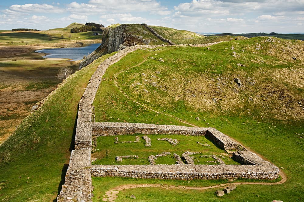
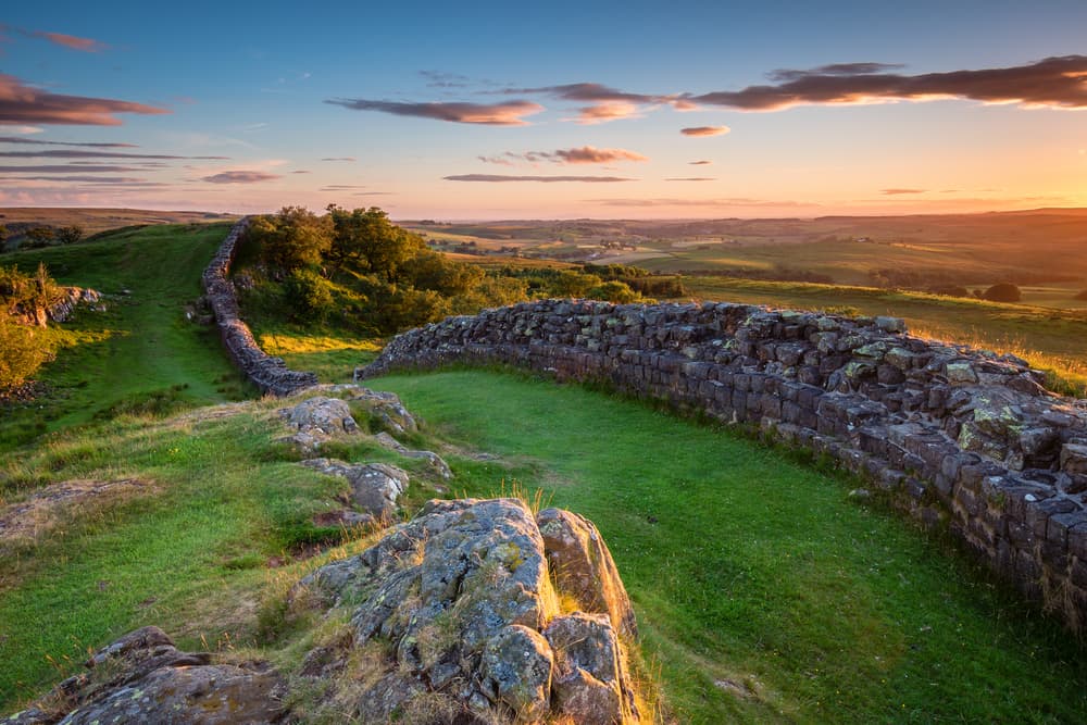
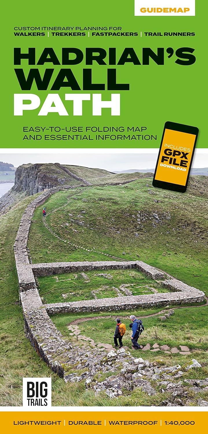
Ingetekende wandelroute</div>
<div>
Hadrian's Wall Path</div>
€ 25.95
Bekijk bij dezwerver.nl| Tags | WandelkaartTopografischeKaartExplorerMapActiveHadrian'sWallHaltwhistleHexhamAreaOrdnanceSurvey |
| Identifier | 42494 |
| Name | Wandelkaart - Topografische kaart 43 OS Explorer Map | Active Hadrian's Wall / Haltwhistle / Hexham area | Ordnance Survey |
| ProductCategoryName | Topografische kaarten |
| Description | <div> Een van de beste detailkaarten die er op de wereld gemaakt worden: zeer gedetailleerd, prachtig helder kleurgebruik, veel topografische aspecten en - zeer belangrijk - allerlei toeristische en recreatieve aspecten zijn ingetekend. De perfecte kaart voor vakantie en vrije tijd: wandelen, fietsen of gewoon de omgeving verkennen. Door de grootte van de kaart, voor- en achterzijde,</div> <div> bestrijkt het een behoorlijk groot gebied!</div> <div> </div> <div> These highly detailed maps show all the administrative boundaries, settlements as small as isolated farms, road network down to unfenced roads and country tracks, and field boundaries (hedges and drystone walls) which make navigation across the countryside much easier. Steep gradients on roads are indicated. Various landmarks, eg. powerlines, archaeological sites, windmills, churches and lighthouses are shown, and additional graphics indicate natural terrain features such as cliffs, scree, mud and vegetation variations. Contour interval is 5 metres in the lower parts of the country and 10 metres in the uplands, and spot heights are marked. Each map covers an area of 30 x 20km (i.e. approx. 19 x 12 miles), with some double-sided maps covering more, as indicated in the individual descriptions. The maps are fully GPS compatible, with the National Grid shown at 1km intervals and latitude and longitude indicated by margin ticks at 1'.</div> <div> </div> <div> Explorer maps show a large amount of information for ramblers and tourists. Public rights of way are shown (except in Scotland), together with other routes with public access: National Trails and Recreational Paths, permitted paths and bridleways, and selected cycle routes. Open access land created under the Countryside and Rights of Way Act 2000 is marked. Tourist information includes caravan and camp sites, Park & Ride locations, recreation/leisure/sport centres, museums, historic buildings, English Heritage and National Trust sites, rural pubs, etc. The map legend is in English only, except for the tourist information content which is also in French and German.</div> <div> </div> <div> Ingetekende wandelroute</div> <div> Hadrian's Wall Path</div> |
| Price | 25.95 |
| Extra informatie | |
|---|---|
| Pages | 1 |
| Edition | 27-05-2019 |
| ISBN | 9780319475621 |
| Publisher | Ordnance Survey |
| Continent | Europa |
| Country | Engeland |
| Region | ♦ Northumberland National Park |
| DeliveryCosts | 2.95 |