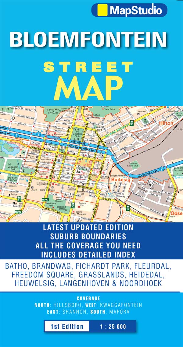
Uitgebreide stadsplattegrond van Bloemfontein en directe omgeving.
The Bloemfontein Street Map is a 1st edition street map providing coverage of Bloemfontein and surrounds, plus includes the latest interchange layouts, names and route numbers. The main map is at a 1:25 000 street-level scale and includes a detailed Bloemfontein map.
The map features reserves, parks and fields; golf courses, sports fields and stadiums; retail areas and shopping malls; intersection layouts, route numbers and interchange names; places of interest, historic sites and hotels; suburb names with boundaries; schools and sporting venue locations; a detailed index booklet with all street names and suburbs; industrial areas; hospitals and clinic locations; police station locations; wine estates and heritage sites; traffic light positions; bird sanctuaries; detailed sport symbols for sport venues; parks and public open-areas; post office and library locations.
Coverage Extent: Batho, Brandwag, Fichardt Park, Fleurdal, Freedom Square, Grasslands, Heidedal, Heuwelsig, Langenhoven & Noordhoek.
€ 7.95
Bekijk bij dezwerver.nl| Identifier | 20919 |
| Name | Wegenkaart - landkaart - Stadsplattegrond Bloemfontein | MapStudio |
| ProductCategoryName | Kaarten > Stadsplattegronden |
| Description | Uitgebreide stadsplattegrond van Bloemfontein en directe omgeving. The Bloemfontein Street Map is a 1st edition street map providing coverage of Bloemfontein and surrounds, plus includes the latest interchange layouts, names and route numbers. The main map is at a 1:25 000 street-level scale and includes a detailed Bloemfontein map. The map features reserves, parks and fields; golf courses, sports fields and stadiums; retail areas and shopping malls; intersection layouts, route numbers and interchange names; places of interest, historic sites and hotels; suburb names with boundaries; schools and sporting venue locations; a detailed index booklet with all street names and suburbs; industrial areas; hospitals and clinic locations; police station locations; wine estates and heritage sites; traffic light positions; bird sanctuaries; detailed sport symbols for sport venues; parks and public open-areas; post office and library locations. Coverage Extent: Batho, Brandwag, Fichardt Park, Fleurdal, Freedom Square, Grasslands, Heidedal, Heuwelsig, Langenhoven & Noordhoek. |
| Price | 7.95 |
| Extra informatie | |
|---|---|
| GTIN | 9781770266322 |
| CategoryPath | Media > Boeken > Non-fictie > Reisboeken |
| Condition | new |
| Availability | in stock |
| Brand | MapStudio |
| Continent | Afrika |
| Country | Zuid-Afrika |